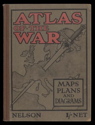
Atlas of the War Maps, Plans, Diagrams and Pictures illustrating the Great European War
Collection: Osher Collection
Name: Atlas of the War Maps, Plans, Diagrams and Pictures illustrating the Great European War
Barcode: 3907
Bound Atlas: Yes
Publishing Location: London, England
Notes: Includes index
Author: Thomas Nelson & Sons
Publisher: Thomas Nelson & Sons
Date Produced: 1914
Date Published: 1914
Language: English
Dimensions: H 25 cm
Physical Description: 1 atlas: 88 pages, including frontispiece, illustrations (including maps, plans), diagrams
LC Call Number: D522.3 .N4
OCLC: 20930067
Accession Number: OS-1914-14
Donor: Osher
Permenant URL: https://oshermaps.org/map/3907.0001; 3907.0002; 3907.0003; 3907.0004; 3907.0005; 3907.0006; 3907.0007; 3907.0008; 3907.0009; 3907.0010; 3907.0011; 3907.0012; 3907.0013; 3907.0014; 3907.0015; 3907.0016; 3907.0017; 3907.0018; 3907.0019; 3907.0020; 3907.0021; 3907.0022; 3907.0023; 3907.0024; 3907.0025; 3907.0026; 3907.0027; 3907.0028; 3907.0029; 3907.0030; 3907.0031; 3907.0032; 3907.0033; 3907.0034; 3907.0035; 3907.0036; 3907.0037; 3907.0038; 3907.0039; 3907.0040; 3907.0041; 3907.0042; 3907.0043; 3907.0044; 3907.0045; 3907.0046; 3907.0047; 3907.0048; 3907.0049; 3907.0050; 3907.0051; 3907.0052; 3907.0053; 3907.0054; 3907.0055; 3907.0056; 3907.0057; 3907.0058; 3907.0059; 3907.0060; 3907.0061; 3907.0062; 3907.0063; 3907.0064; 3907.0065; 3907.0066; 3907.0067; 3907.0068; 3907.0069; 3907.0070; 3907.0071; 3907.0072; 3907.0073; 3907.0074; 3907.0075; 3907.0076; 3907.0077; 3907.0078; 3907.0079; 3907.0080; 3907.0081; 3907.0082; 3907.0083; 3907.0084; 3907.0085; 3907.0086; 3907.0087; 3907.0088; 3907.0089; 3907.0090; 3907.0091; 3907.0092