Collection: Osher Collection
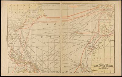
Name: Map of the Atlantic Ocean showing distances between principal points
Barcode: 3915
Creator: George F. Cram Company
Date Published: 1917
Region Depicted: Atlantic Ocean
Subjects: Atlantic Ocean
Permenant URL: https://oshermaps.org/map/3915.0006