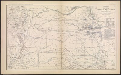
Engineer Bureau War Department. Section of map of the states of Kansas and Texas and Indian territory, with parts of the territories of Colorado and New Mexico from the most recent official surveys and explorations and other authentic information. 1867.
Collection: Osher Collection
Name: Engineer Bureau War Department. Section of map of the states of Kansas and Texas and Indian territory, with parts of the territories of Colorado and New Mexico from the most recent official surveys and explorations and other authentic information. 1867.
Barcode: 3789
Creator: Davis, George B. (George Breckenridge), 1847-1914
Date Created: 1867
Date Published: 1867
Notes: Map contains list of authorities used in its creation. 1867 - Inscribed on Map
Permenant URL: https://oshermaps.org/map/3789.0009