Collection: Osher Collection
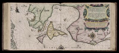
Name: Caarte No. 26 || Chart number 26: Description of the shores of the sea of Courland and Livonia, with all the islands and gulfs between Memel (Neman) and Revel (Tallinn).
Barcode:
Creator:
Date Created:
Date Published:
Language:
Region Depicted:
Subjects:
Permenant URL: