Collection: Osher Collection
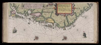
Name: Caarte No. 33 || Chart number 33: Sea chart of the northernmost part of Norway, from Trondheim up to North Cape, with all the islands located along the icy coast.
Barcode:
Creator:
Date Created:
Date Published:
Language:
Region Depicted:
Subjects:
Permenant URL: