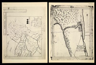
[Plate XLI] A Map Exhibiting the Territorial limits of several Nations & Tribes of Indians agreeably to the notes of A. Chouteau. reduced & laid down on a scale of 80 miles to the inch, by R. Paul February 1816 [1942 copy of 1816 original]
Collection: Osher Map Library Collection
Name: [Plate XLI] A Map Exhibiting the Territorial limits of several Nations & Tribes of Indians agreeably to the notes of A. Chouteau. reduced & laid down on a scale of 80 miles to the inch, by R. Paul February 1816 [1942 copy of 1816 original]
Barcode: 14437
Creator: Paul, René, 1783-1851Smith, CaptainTucker, Sara Jones
Date Created: 1818
Date Published: 1818
Notes: 1816 - inscribed on map; 1818 - inscribed on map
Permenant URL: https://oshermaps.org/map/14437.0040