Collection: Osher Map Library Collection
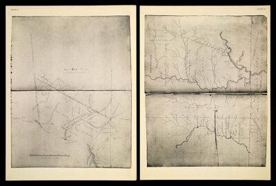
Name: [Plate L] Sac & Fox Lands South of the 40 mile point on Cedar River[1942 copy of 1835 original]
Barcode: 14437
Creator: De Ward, CharlesMcCoy, Isaac, 1784-1846Tucker, Sara Jones
Date Created: 1835
Date Published: 1835
Permenant URL: https://oshermaps.org/map/14437.0045