Collection: Osher Map Library Collection
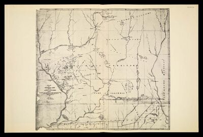
Name: [Plate LII] Map of the Boundary Line between Ceded and Unceded Lands surveyed under the direction of the Hon. J. H. Eaton, Sec. of War, conformably to the stipulations of the Treaty of Prairie du Chien of 1829. By Lucius Lyon of Detroit Mich. Ter.[1942 copy of circa 1830 original]
Barcode:
Creator:
Date Created:
Date Published:
Permenant URL: