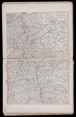
Rand McNally war map of the British Front a strategic map of the battle ground in Belgium and France from Ostend to St. Quentin
Collection: Osher Map Library Collection
Name: Rand McNally war map of the British Front a strategic map of the battle ground in Belgium and France from Ostend to St. Quentin
Barcode: 12224
Creator: Duncan, Claude E. (Claude Edward), 1895-1971
Permenant URL: https://oshermaps.org/map/12224.0015