Collection: Smith Collection
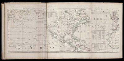
Name: Chart, containing the Coasts of California, New Albion, and Russian Discoveries to the North; with the Peninsula of Kamchatka, in Asia, opposite thereto, and Islands, dispersed over the Pacific Ocean, to the North of the Line. / North America and the West Indies, with the opposite Coasts of Europe and Africa.
Barcode:
Creator:
Date Published: Jun 10th, 1775
Content:
Subjects:
Publisher:
Language:
Region Depicted:
Dimensions: Map: H 42.5 x W 110.5 cm on sheet: H 54.5 x W 116.5 cm
Printing Process:
Printing Technique:
Permenant URL: