Collection: Smith Collection
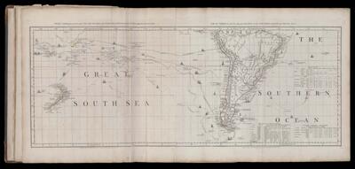
Name: Chart containing the greater part of the South Sea to the South of the Line, with the Islands dispersed thro' the same. / South America with the adjacent Islands in the Southern Ocean and South Sea.
Barcode:
Creator:
Date Published: Jun 10th, 1775
Content:
Subjects:
Publisher:
Language:
Region Depicted:
Dimensions: Map: H 43 x W 111 cm on sheet: H 54.5 x W 116 cm
Printing Process:
Printing Technique:
Permenant URL: