Collection: Smith Collection
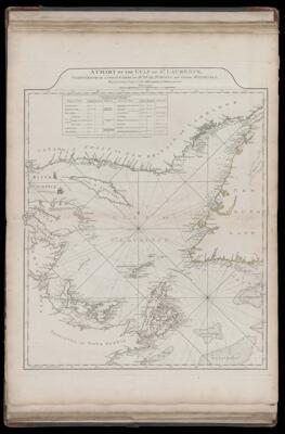
Name: A Chart of the Gulf of St. Laurence, Composed from a Great Number of Actual Surveys and Other Materials, Regulated and Connected by Astronomical Observations.
Barcode:
Creator:
Date Published: May 25th, 1775
Content:
Subjects:
Publisher:
Language:
Region Depicted:
Dimensions: Map: H 61 x W 49.5 cm on sheet: H 75.5 x W 54.5 cm
Printing Process:
Printing Technique:
Permenant URL: