Collection: Smith Collection
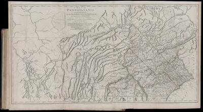
Name: A Map of Pennsylvania exhibiting not only the Improved Parts of that Province, but also its Extensive Froniers...
Barcode:
Creator:
Date Published: Jun 10th, 1775
Content:
Surveyor:
Publisher:
Language:
Region Depicted:
Dimensions: Map: H 68 x W 133.5 cm on sheet: H 74.5 x W 136.5 cm
Printing Process:
Printing Technique:
Permenant URL: