Collection: Smith Collection
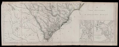
Name: [untitled part of previous map]
Barcode:
Creator:
Date Published: May 30th, 1775
Content:
Publisher:
Language:
Region Depicted:
Dimensions: Map: H 50.2 x W 140 cm on sheet: H 55.3 x W 145.5 cm
Printing Process:
Printing Technique:
Permenant URL: