Collection: Smith Collection
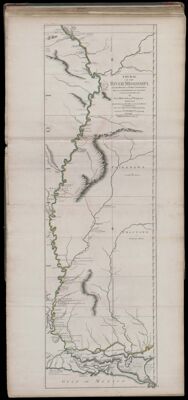
Name: Course of the River Mississipi, from the Balise to Fort Chartres; Taken on an Expedition to the Illinois, in the latter end of the Year 1765.
Barcode:
Creator:
Date Published: Jun 1st, 1775
Content:
Subjects:
Publisher:
Language:
Region Depicted:
Dimensions: Map: H 112.5 x W 34.5 on sheet: H 115 x W 55 cm
Printing Process:
Printing Technique:
Permenant URL: