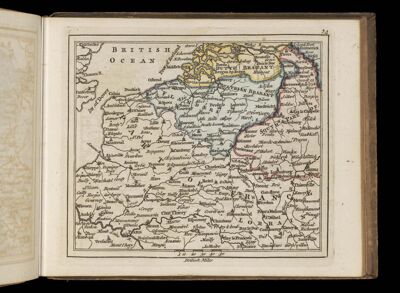
[Map of the Holy Roman Empire centered on Flanders]
Collection: Smith Collection
Name: [Map of the Holy Roman Empire centered on Flanders]
Barcode: 4305
Creator: Bowles, Carington, 1724-1793Dury, AndrewKitchin, Thomas, 1718-1784Sayer, Robert, 1725-1794
Date Created: 1763
Date Published: 1763
Language: English
Region Depicted: BelgiumBenelux countriesLuxembourgThe Netherlands
Subjects: BelgiumLuxembourgNetherlands
Permenant URL: https://oshermaps.org/map/4305.0080