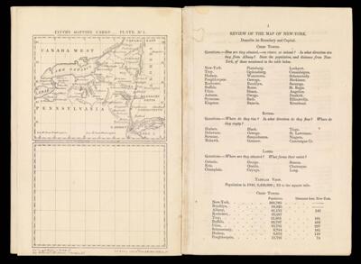
Fitch's Mapping Cards _ Plate No 1.
Collection: Smith Collection
Name: Fitch's Mapping Cards _ Plate No 1.
Barcode: 4588
Creator: Fitch, George W. (George William)Wilder, Alfred Montrose, 1804-
Date Created: 1849
Date Published: 1849
Printing Process: Lithograph
Notes: Covers New York from Lake Ontario and St. Lawrence River to Northern Pennsylvania and from Lake Erie to Vermont/Massachusetts/Connecticut/Long Island
"Lat & Long Lith of Risso & Butler 135 Fulton St."
Permenant URL: https://oshermaps.org/map/4588.0004