Fitch's Mapping Card _ Plate No 3.
Collection: Smith Collection
Name: Fitch's Mapping Card _ Plate No 3.
Barcode: 4588
Creator: Fitch, George W. (George William)Wilder, Alfred Montrose, 1804-
Date Created: 1849
Date Published: 1849
Printing Process: Lithograph
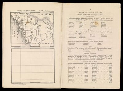
Notes: Maine. Covering area from New Hampshire to New Brunswick and from New Brunswick to the town of York and the Atlantic Ocean.
"Lat & Long Litho of B.F. Butler, 90 Fulton St. N.Y."
Permenant URL: https://oshermaps.org/map/4588.0007