A Map of the States of Virginia, North Carolina, South Carolina and Georgia; comprehending the Spanish provinces of East and West Florida: exhibiting the boundaries as fixed by the late Treaty of Peace between the United States and the Spanish Dominions. C

Collection: Smith Collection

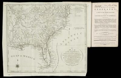
Name: A Map of the States of Virginia, North Carolina, South Carolina and Georgia; comprehending the Spanish provinces of East and West Florida: exhibiting the boundaries as fixed by the late Treaty of Peace between the United States and the Spanish Dominions. C

Barcode: 2039

Creator: Morse, Jedidiah, 1761-1826

Date Published: 1792

Publisher: Jones, John

Language: English

Region Depicted: FloridaGeorgiaNorth CarolinaSouth CarolinaVirginia

Dimensions: H 33 x W 45 cm

Permenant URL: https://oshermaps.org/map/2039.0012