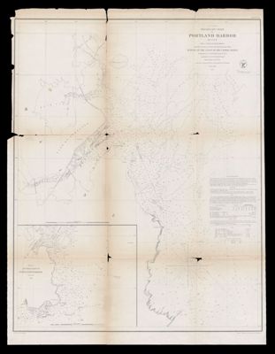
(A No. 3) Preliminary Chart of Portland Harbor Maine from a Trigonometrical Survey under the direction of A.D. Bache Superintendent of the Survey of the Coast of the United States Triangulation by C.O. Boutelle Assistant U.S.C.S. Topography by A.W. Longfellow Assist. Hydrography by the Party under the command of Lieut. M. Woodhall U.S.N. Assist 1854
Collection: Bonebakker Collection
Name: (A No. 3) Preliminary Chart of Portland Harbor Maine from a Trigonometrical Survey under the direction of A.D. Bache Superintendent of the Survey of the Coast of the United States Triangulation by C.O. Boutelle Assistant U.S.C.S. Topography by A.W. Longfellow Assist. Hydrography by the Party under the command of Lieut. M. Woodhall U.S.N. Assist 1854
Barcode: 46415
Creator: United States Coast Survey
Notes: Inset map: "Sketch of Approaches to Portland Harbor"Note: "Eng'd. by J. Knight, J.V.N. Throop and G.B. Metzeroth."
Publisher: United States Coast Survey
Date/Date Range Produced: 1854
Date/Date Range Published: 1854
Language: English
Region Depicted: Portland Harbor, MainePortland, Maine
Dimensions: 39 x 30 cm
LC Call Number:
OCLC: 173644960
Donor: Bonebakker
Permenant URL: https://oshermaps.org/map/46415.0001