Collection: Engass Collection
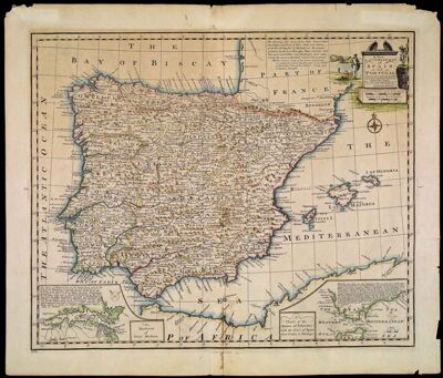
Name: A New & Accurate Map of Spain and Portugal. Drawn from Surveys assisted by ye most approved Modern Maps and Charts The whole being Regulated by Astronomical Observations By Eman. Bowen
Barcode:
Creator:
Date/Date Range Produced:
Date/Date Range Published:
Language:
Dimensions: 36 x 44 cm
Printing Process:
Printing Technique:
Material Type:
Notes:
LC Call Number: G6560 .B6 1747
OCLC: 72038263
Accession Number: ENG-1747-11
Donor:
Permenant URL: