Collection: Osher Collection
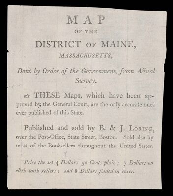
Name: [Title Page only] Map of the District of Maine, Massachusetts, Done by Order of the Government, from Actual Survey. These Maps, which have been approved by the General Court, are the only accurate ones ever published of this State. Published and sold by B. & J. Loring, ove
Barcode:
Creator:
Date/Date Range: 1802
Language:
Dimensions: 14 cm. x 12 cm.
Notes:
Accession Number: OS-1802-14
Donor:
Permenant URL: