Collection: Engass Collection
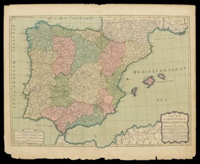
Name: A New Map of the Kingdoms of Spain and Portugal with Their Principal Divisions.
Barcode:
Notes:
Date/Date Range Produced:
Date/Date Range Published:
Language:
Region Depicted:
Dimensions: 47 x 64 cm
Printing Process:
Printing Technique:
Material Type:
LC Call Number: G6560 .L3 1794
OCLC: 72041245
Donor:
Permenant URL: