Collection: Flaherty Collection
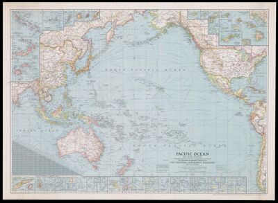
Name: Pacific Ocean and the Bay of Bengal
Barcode:
Publisher:
Publishing Location:
Notes:
Date/Date Range Published: 1943
Language:
Dimensions: 65 x 90 cm
LC Call Number: G9230 1943.N3
OCLC: 6576636
Accession Number: FLA-1943-118
Donor:
Permenant URL: