Collection: Engass Collection
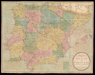
Name: A New Map of Spain and Portugal, Divided into Provinces and Military Districts: by John Luffman, Geographer.
Barcode:
Creator:
Notes:
Date/Date Range Produced:
Date/Date Range Published:
Language:
Region Depicted:
Dimensions: 18 x 12 cm
LC Call Number:
OCLC: 823516124
Donor:
Permenant URL: