Collection: Engass Collection
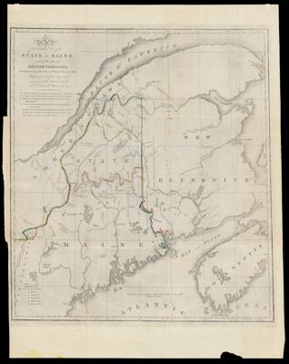
Name: Map of the Northern Part of the State of Maine and of the Adjacent British Provinces, Shewing the portion of that State to which Great Britain lays claim Reduced from the official Map A with corrections from the latest surveys by S.L. Dashiell Washington 1830.
Barcode:
Creator:
Date/Date Range Produced:
Date/Date Range Published:
Language:
Region Depicted:
Dimensions: 76 x 55 cm
LC Call Number:
OCLC:
Permenant URL: