Collection: Flaherty Collection
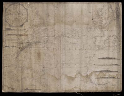
Name: Blunt's new chart of the Atlantic or Western Ocean : extending from the equator to Lat. 74°40ʹ N. Long. 31°45ʹ E. to 91°W. : drawn from the most authentick Spanish, French & English authorities : including the Tracks of the United States Ships Preside
Barcode:
Creator:
Publishing Location:
Notes:
Date/Date Range Produced: 1822
Language:
Map Type:
Dimensions: 92 x 100 cm
LC Call Number: G9110 1822.B5
OCLC: 1003654696
Accession Number: FLA-1822-28
Donor:
Permenant URL: