Collection: Hamilton-Thayer Collection
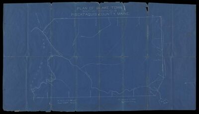
Name: Plan of Blake Town, (South half TNo. 1 R.14. W.E.L.S. Piscataquis County, Maine as surveyed in 1912 by Walter E. Craig
Barcode:
Surveyor:
Publishing Location:
Date/Date Range Produced: 1912
Language:
Map Type:
Dimensions: 50 x 90 cm
LC Call Number: G3733.P5 1912 C7
OCLC: 1108621439
Accession Number: HT-1912-101
Donor:
Permenant URL: