Collection: Hamilton-Thayer Collection
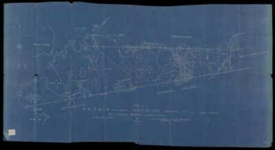
Name: Map of A.2, R.13 & 14, Area 17402A., Baker Mt. Tract, Area 3029., P.L. 778, total 21209A, for State Board of Assessors
Barcode:
Surveyor:
Publishing Location:
Date/Date Range Published: 1916
Language:
Dimensions: 48 x 92 cm
LC Call Number: G3732.M59 1916 H9
OCLC: 1109396101
Accession Number: HT-1916-84
Donor:
Permenant URL: