A Chart of Spaine Perticulerly Discribing the Coasts of Biscaia, Gallissia, Portugal, Andaluzia, Granada &c by Joh. Seller, Hidrogra to ye Kings most Excelent Majesty

Collection: Engass Collection

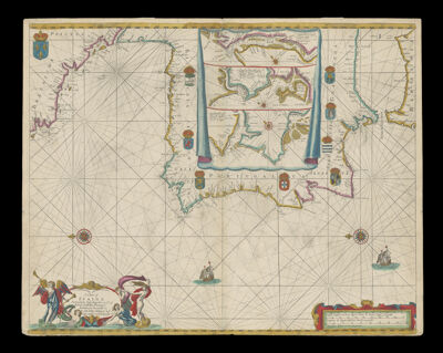
Name: A Chart of Spaine Perticulerly Discribing the Coasts of Biscaia, Gallissia, Portugal, Andaluzia, Granada &c by Joh. Seller, Hidrogra to ye Kings most Excelent Majesty

Barcode: 58

Creator: Seller, John, active 1658-1698

Notes: Sea chart which includes 3 insets of the ports of Bordeaux, France, Sanlucar de Barrameda, Spain and Lisbon, PortugalPublished between 1670 and 1675

Date/Date Range Produced: 1670

Date/Date Range Published: 1670

Language: English

Dimensions: H 44.7 X W 56.6 cm

Printing Process: Engraving

Printing Technique: Copper

Material Type: Paper

LC Call Number: G6560 .S4 1670

OCLC: 71275535

Donor: Enggass

Permenant URL: https://oshermaps.org/map/58.0001