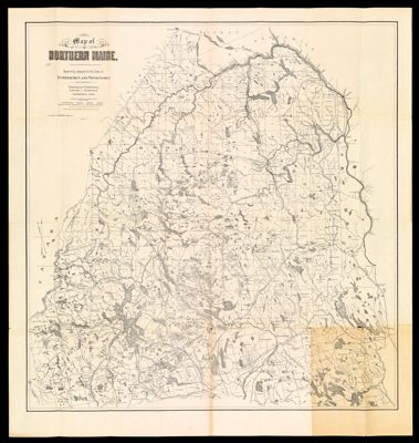
Map of Northern Maine. Specially adapted to the Uses of Lumbermen and Sportsmen Compiled and Published by Lucius L. Hubbard, Cambridge, Mass.
Collection: Osher Map Library Collection
Name: Map of Northern Maine. Specially adapted to the Uses of Lumbermen and Sportsmen Compiled and Published by Lucius L. Hubbard, Cambridge, Mass.
Barcode: 228
Creator: Anonymous / Unknown Author
From Atlas: No
Publishing Location: Cambridge, MA
Notes: Note: "Entered according to Act of Congress in the year 1899 by Lucius L. Hubbard in the Office of the Librarian of Congress." Note: "For sale by E.F. Dillingham, Bangor, Me."
Publisher: Hubbard, Lucius L. (Lucius Lee), 1849-1933
Purveyor: E.F. Dillingham
Date/Date Range Produced: 1899
Date/Date Range Published: 1899
Language: English
Region Depicted: Aroostook County, MaineNorthern MainePenobscot County, MainePiscataquis County, MaineSomerset County, MaineWashington County, Maine
Map Type: Boundary mapsGeographicalThematic maps
Dimensions: 82 x 79 cm
Material Type: Paper
LC Call Number: G3731.S1 1899 H8
OCLC: 30616981
Subjects: Aroostook County (Me.)Hubbard, Lucius Lee, 1849 -1933Land grantsMaineMaine--MapsPenobscot County (Me.)Piscataquis County (Me.)Rivers and lakesSomerset County (Me.)Washington County (Me.)
Permenant URL: https://oshermaps.org/map/228.0001