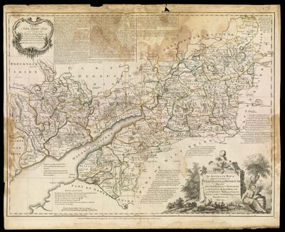
An Accurate Map of The Counties of Gloucester and Monmoth Divided into their Respective Hundreds Collected from the Best Materials and Illustrated with Historical Extracts Relative to their Natural Produce Trade Manufactures, &c.
Collection: Michie Collection
Name: An Accurate Map of The Counties of Gloucester and Monmoth Divided into their Respective Hundreds Collected from the Best Materials and Illustrated with Historical Extracts Relative to their Natural Produce Trade Manufactures, &c.
Barcode: 189
Creator: Bowen, Emanuel, 1693 or 1694-1767Bowles, Carington, 1724-1793Kitchin, Thomas, 1718-1784Sayer, Robert, 1725-1794Wilkinson, Robert, -approximately 1825
Date/Date Range Produced: 1760
Date/Date Range Published: 1760
Language: English
Region Depicted: Gloucestershire, England
Dimensions: 52 x 68 cm
Printing Process: Engraving
Printing Technique: Copper
Material Type: Paper
Notes: Note: "Printed for Robt. Wilkinson in Cornhill, Carington Bowles in St. Pauls' Church Yard, Robt. Sayer at the Golden Buck in Fleet Street."
From: "The large English atlas : Or a new set of maps of all the counties in England and Wales"
Dedicated to John Thynne How, Lord Chedworth
LC Call Number: G5753.G5 B6 1760
OCLC: 79871575
Accession Number: MI-1760-2
Permenant URL: https://oshermaps.org/map/189.0001