Collection: Michie Collection
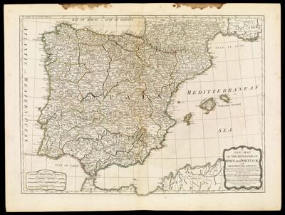
Name: A New Map of the Kingdoms of Spain and Portugal with their Principal Divisions
Barcode:
Creator:
Date/Date Range Produced:
Date/Date Range Published:
Language:
Dimensions: 47 x 64 cm
Printing Process:
Printing Technique:
Material Type:
Notes:
LC Call Number: G6540 .S3 1790
OCLC: 124069446
Accession Number: MI-1790-3
Permenant URL: