Collection: Morin Collection
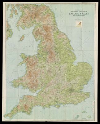
Name: Bartholomew's Tenth-Inch Road Map of England & Wales with layer colouring.
Barcode:
Publishing Location:
Notes:
Date/Date Range Produced:
Date/Date Range Published:
Language:
Dimensions: 107 x 82 cm folded to 22 x 15 cm
LC Call Number: G5751.P2 1944 .B3
OCLC: 586097841
Accession Number: MOR-1944-68
Donor:
Permenant URL: