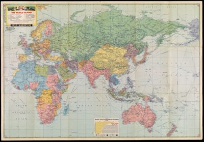
Esso War Map II featuring The World Island, Fortress Europe: A second War Map edited, drafted, and printed by the makers of the well-known Esso Road Maps.
Collection: Morin Collection
Name: Esso War Map II featuring The World Island, Fortress Europe: A second War Map edited, drafted, and printed by the makers of the well-known Esso Road Maps.
Barcode: 14233
Publishing Location: New York
Notes: Marginal text titled: "The Geography of Global Warfare" and "Peace Conference Problems."Map shows railroads, roads, pipelines, steamship distances, and international boundaries as of March 11, 1938.Includes ancillary map, Boundary changes in Central Europe since 1938."
Publisher: Esso MarketersGeneral Drafting Company
Date/Date Range Produced: 1943
Date/Date Range Published: 1943
Language: English
Region Depicted: EuropeNorth AfricaWorld
Dimensions: 78 x 77 cm on sheet 86 x 122 cm
LC Call Number: G5670 1943 .G4 c.4
OCLC: 4358695
Donor: Morin
Subjects: World War, 1939-1945
Permenant URL: https://oshermaps.org/map/14233.0001; 14233.0002