Collection: Morin Collection
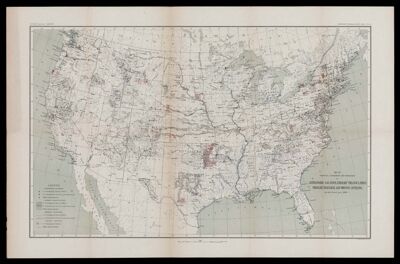
Name: Map showing condition and progress of astronomic location, primary triangulation, primary traverse and precise leveling, for the fiscal year 1896-7.
Barcode:
Creator:
Date/Date Range Produced:
Date/Date Range Published:
Notes:
Accession Number: MOR-1897-60
Donor:
Permenant URL: