Collection: Osher Map Library Collection
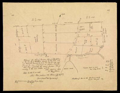
Name: [Plan for the division of the land of the late Henry Gardner . . . ]
Barcode: 37628
Date/Date Range Produced: 1858
Date/Date Range Published: 1858
Language: English
Notes: Note: "Book of Deeds + 806 Page 266 & 267"
Accession Number: OML-1858-16
Permenant URL: https://oshermaps.org/map/37628.0001