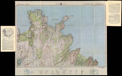
Uppdráttur Íslands: Aðalkort Bl.7, Norðausturland
Collection: Howard Collection
Name: Uppdráttur Íslands: Aðalkort Bl.7, Norðausturland
Barcode: 12963
Creator: Geodætisk institut (Denmark)
From Atlas: No
Publishing Location: Copenhagen
Notes: Part of a set of 9 maps covering all of Iceland. Measured in 1932-34.
Publisher: Geodætisk institut (Denmark)
Date/Date Range Produced: 1949
Date/Date Range Published: 1949
Language: DanishEnglishIcelandic
Region Depicted: Iceland
Map Type: GeographicalPolitical mapsTopographical maps
Printing Process: Offset Printing
Material Type: Paper
Accession Number: HO-1949-17
Donor: Howard
Permenant URL: https://oshermaps.org/map/12963.0001; 12963.0002