Collection: Osher Map Library Collection
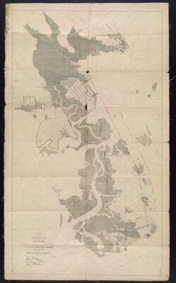
Name: West Portion of Jamaica Bay, New York Topographic Survey under the direction of the Jamaica Bay Improvement Commission Sept. to Dec. 1909
Barcode:
Publishing Location:
Notes:
Date/Date Range Produced:
Date/Date Range Published:
Language:
Dimensions: 73 x 42
LC Call Number: VK.587.J3.1909
OCLC: 70191336
Accession Number: OML-1909-30
Permenant URL: