Collection: Osher Map Library Collection
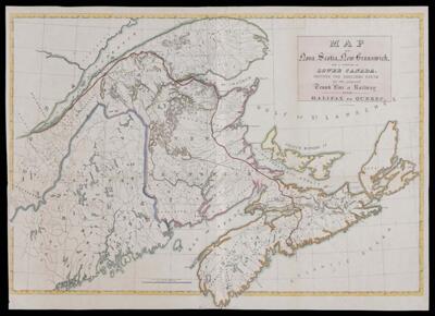
Name: Map of Nova Scotia, New Brunswick, and a portion of Lower Canada showing the explored route for the proposed trunk line of railway from Halifax to Quebec.
Barcode:
From Atlas:
Publishing Location:
Printmaker:
Date/Date Range Produced:
Date/Date Range Published:
Language:
Region Depicted:
Map Type:
Dimensions: 55 x 82 cm.
Material Type:
LC Call Number: G3421.P3 1845 M3
OCLC: 948202943
Accession Number: OML-1845-41
Subjects:
Permenant URL: