Collection: Textile Museum Collection
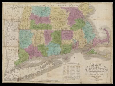
Name: Map of Massachusetts, Connecticut and Rhode Island constructed from the latest authorities
Barcode:
Publisher:
Publishing Location:
Date/Date Range Published: 1838
Language:
Map Type:
Dimensions: 38 x 50 cm
LC Call Number: G3760 1838 B7
OCLC: 1030583269
Accession Number: ATH-1838-38
Donor:
Permenant URL: