Sketch of the imaginary ranges of highlands reported by the British surveyors under the Treaty of Ghent, as extending across the State of Maine.

Collection: Osher Map Library Collection

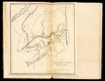
Name: Sketch of the imaginary ranges of highlands reported by the British surveyors under the Treaty of Ghent, as extending across the State of Maine.

Barcode: 45936

Creator: Chapin, William, 1802-1888Greenleaf, Moses, 1777-1834

Date Created: 1829

Date Published: 1829

Permenant URL: https://oshermaps.org/map/45936.0026c