Collection: Hamilton-Thayer Collection
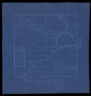
Name: Plan of township no.6 R.9 W.E.L. as surveyed in September and October 1834 by Isaac S. Small, Silas Barnard, Caleb Leavitt
Barcode:
Surveyor:
Date/Date Range Produced: 1834
Language:
Region Depicted:
Map Type:
Printing Process:
Notes:
LC Call Number: G3733.W4 1834 S4
OCLC: 1108654495
Accession Number: HT-1834-48
Donor:
Permenant URL: