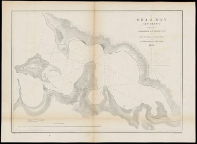
Shah Bay, Lew Chew I. Surveyed by order of commodore M.C. Perry U.S.N. ; by...
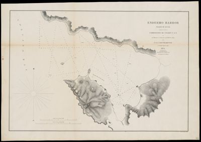
Endermo Harbor, Island of Jesso surveyed by order of Commodore M.C. Perry U.S.N. by Actg....
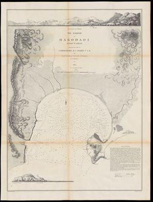
The harbor of Hakodadi, Yesso Id. Japan surveyed by order of Commodore M.C. Perry U.S.N....
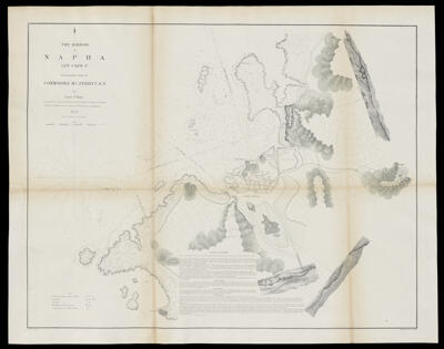
The harbor of Napha, Lew Chew Id. surveyed by order of Commodore M.C. Perry U.S.N....
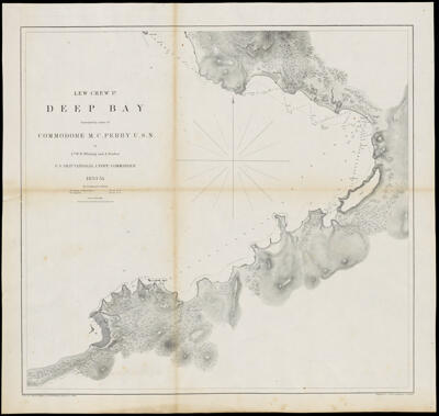
Lew Chew Id. Deep Bay surveyed by order of Commodore M.C. Perry U.S.N. ; by...
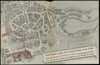
See the hit show at the Fair : railroads on parade
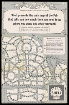
Shell presents the only map of the Fair that tells you how much time you...
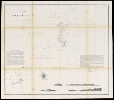
Gulf and Bay of Yedo surveyed by order of Commodore M.C. Perry, U.S.N. by Lieut....
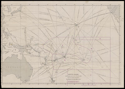
Route chart illustrating routes in H. O. Pub. No. 166
![]()
