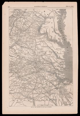
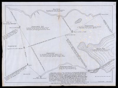
Theatre of the war in Virginia
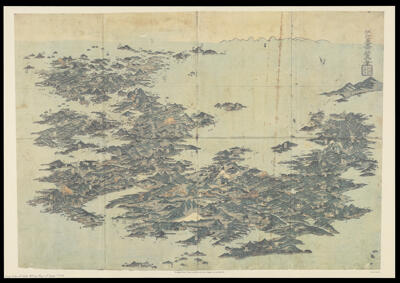
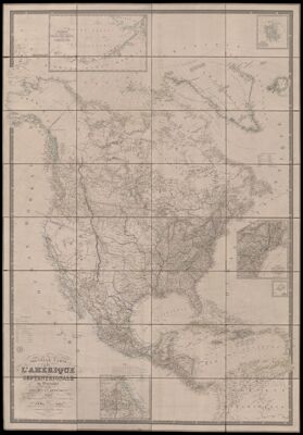
New map of North America, Greenland and the islands which depend on it, dedicated to...