
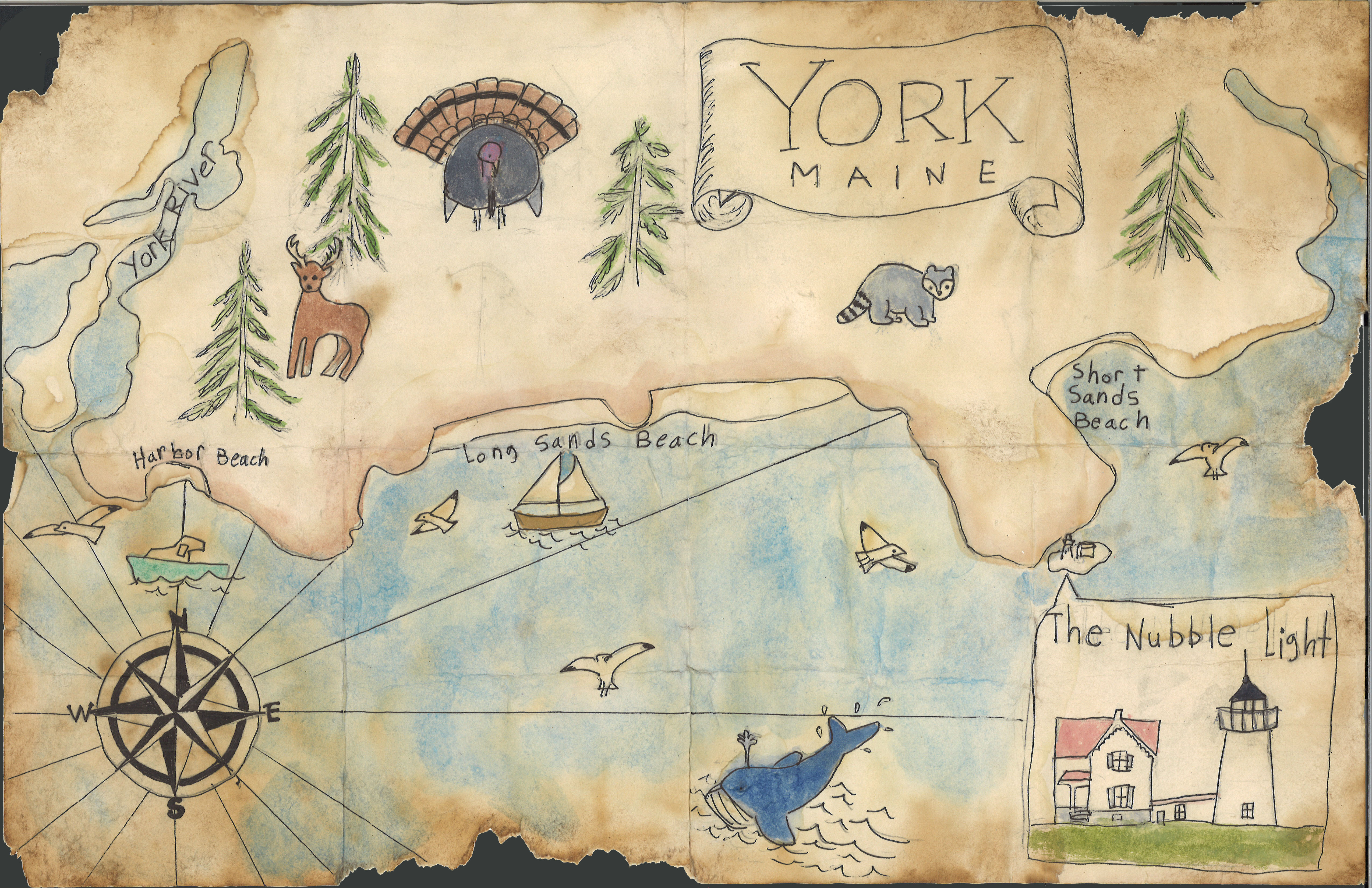
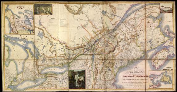
Between 1798 and 1842, Maine’s northern border was a point of hot contention between the English and the newly formed United States of America.
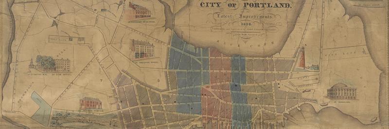
In this special, online exhibition offers a history of the printed urban maps of Portland, Maine, from the early nineteenth century to the great fire of July 4th, 1866. It is a history of how Portland was construed as a distinctive urban place, as a moral center of commerce, as a victim of perfidy, and as a site of remarkable and repeated rebirth and growth.
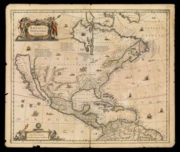
Although cartographers of the seventeenth and eighteenth centuries knew California was not an island, they continued to depict it in this way. This exhibition explores the reasons behind this ridiculous cartographic error, which persisted for over two centuries.
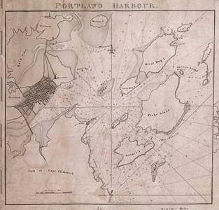
The nautical charts and notes in this collection document Lemeul Moody’s work and legacy, as he observed Portland from his tower on Munjoy Hill.
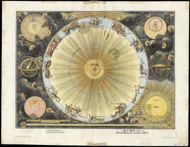
The maps in this online exhibition show some of the various relationships between reason and religion as the west attempted to find the center of the universe.