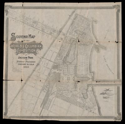
Souvenir map of the World's Columbian Exposition at Jackson Park and Midway Plaisance, Chicago, Ill.,...
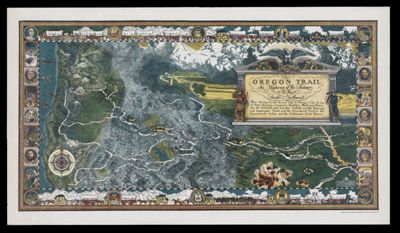
The Oregon Trail : the highway of the pioneers to the Pacific Northwest
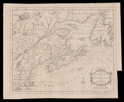
A New and Accurate Map of Quebec and its boundaries from a late survey.
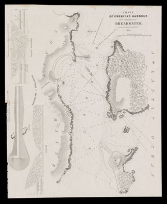
Chart of Owlshead Harbour and projections of a breakwater
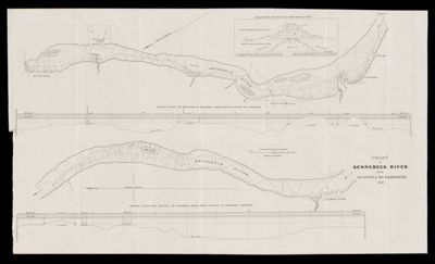
Chart of Kennebeck River from Augusta to Gardiner
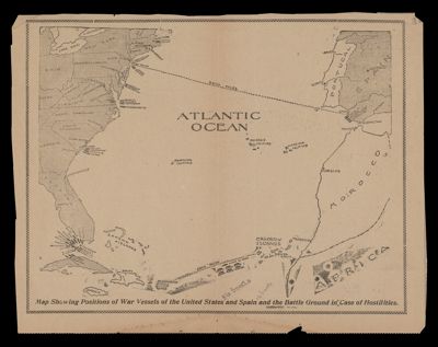
Map showing positions of war vessels of the United States and Spain and the battle...
-
![]()