Showing 91-100 of 101159 results

Sort By:

Official Map of Maine Prepared by State Highway Commission showing Highway Route Numbers
Creator:
Date/Date Range Produced: Mar 24th, 1926
Language:
Region Depicted:
Map Type:
Dimensions: 61 x 41 cm.
Material Type:
Brief Description: Road map of Maine prepared by the State Highway Commission.
LC Call Number: G3734.P2.I6.1926
OCLC: 64282382
Accession Number: OML-1926-22
Subjects:
Image Number:


Kansas, a guide to the Sunflower state
Author:
Publisher:
Date Produced: 1939
Physical Description: xviii, [4], 538 p. illus., maps (incl. 2 on fold. l. in pocket) 21 cm
LC Call Number: F679.3 .F45
OCLC: 1285679
Accession Number: AUL-1939-79
Donor:
Image Number:


New England and Environs ALA Touring Dept.
Alternative Title: Automobile Green Book New England and Environs
Date/Date Range Produced: 1927
Language:
Dimensions: 59 x 47
LC Call Number: G3720.P2.S3.1927
OCLC: 62140261
Accession Number: OML-1927-21
Image Number:


Preliminary Geologic Map of Maine by Arthur Keith
Creator:
Publisher:
Date/Date Range Produced: 1933
Language:
Region Depicted:
Map Type:
Dimensions: 51 x 35 cm.
Printing Process:
Material Type:
Brief Description: Colored geologic map of Maine, published by the U.S. Geological Survey.
LC Call Number: G3731 .C5 1933
OCLC: 22617803
Accession Number: OML-1933-7
Subjects:
Image Number:


Texaco Touring Map of Maine
Creator:
Alternative Title: Texaco Sectional Trip Map
Publisher:
Date/Date Range Produced: 1938
Language:
Region Depicted:
Map Type:
Dimensions: 67 x 43 cm.
Material Type:
LC Call Number: G3731.P2.R36.1938
OCLC: 61678621
Accession Number: OML-1938-12
Subjects:
Image Number:


Europe a Pictorial Map by Ernest Dudley Chase
Creator:
Date/Date Range Produced: 1938
Language:
Dimensions: 43 x 58
Physical Description: 1 map: illustrated
LC Call Number: G5700 .C4 1938
OCLC: 124068894
Accession Number: OML-1938-6
Image Number:


Esso War Map II featuring the World Island, Fortress Europe : A second War Map edited, drafted, and printed by the makers of the well-known Esso Road Maps
Publisher:
Date/Date Range Produced: 1943
Language:
Dimensions: 56 x 82
Physical Description: 1 map: colored
LC Call Number: G5670 1943 .G4 c.2
OCLC: 4358695
Accession Number: OML-1942-26
Subjects:
Image Number:


Large Print Map of the World on Mercator's Projection.
Creator:
Publisher:
Date/Date Range Produced: 1943
Language:
Dimensions: 96 x 129
Physical Description: 1 map: colored, illustrated
LC Call Number: G3200 .G4 1943
OCLC: 68569126
Accession Number: OML-1943-27
Image Number:


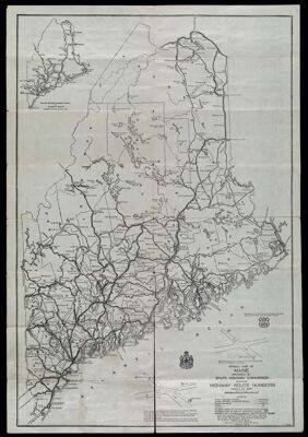
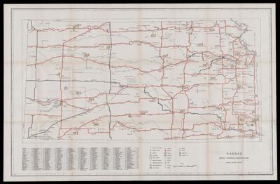
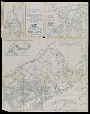
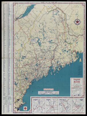
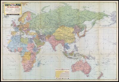
Richfield World-wide news Map
Publisher:
Date/Date Range Produced: 1944
Language:
Dimensions: 52 x 72 cm. folded to 24 x 19 cm.
Physical Description: 5 maps on 1 sheet: both sides, colored
LC Call Number: G3201.S7 1944 .R5
OCLC: 58996356
Accession Number: OML-1944-7
Image Number:


Metropolitan Detroit and Vicinity
Alternative Title: Shell Map of Metropolitan Detroit
Date/Date Range Produced: 1945
Language:
Dimensions: 42 x 57
LC Call Number: G4111.P2.D54.G6.1945
OCLC: 61680271
Accession Number: OML-1945-17
Image Number: