Showing 351-360 of 109816 results

Sort By:


Colton's Map of the United State of America and a large portion of Canada & Texas
Creator:
Date/Date Range Produced: 1855
Language:
Dimensions: 84 x 117
Physical Description: 1 map: colored, illustrated
Accession Number: OML-1855-74
Image Number:


International Series North America Constructed and engraved by W. and A.K. Johnston Limited
Date/Date Range Produced: 1920
Language:
Dimensions: 98 x 142
Accession Number: OML-1920-168
Image Number:


Northern Pacific Railroad / Geographically correct map of the United States of America showing line of the Northern Pacific Railroad
Creator:
Date/Date Range Produced: 1960
Language:
Physical Description: 1 map: colored, illustrated
Accession Number: OML-1960-165
Image Number:


New England
New England
Publisher:
Date/Date Range Produced: 1927
Language:
Map Type:
Dimensions: 126 x 105
Accession Number: OML-1927-159
Image Number:


New Map of the portion of North America exhibiting the United States and Territories the Canadas, New Brunswick
Creator:
Date/Date Range Produced: 1854
Language:
Physical Description: 1 map: colored
LC Call Number: G3300 1854 .M6
Accession Number: OML-1854-43
Image Number:


1912 Twentieth Century Commercial and Library Map of the United States showing all counties, principal cities and towns, railroad....
Creator:
Alternative Title: Twentieth Century Map of the World
Date/Date Range Produced: 1912
Language:
Dimensions: 170 x 184
Accession Number: OML-1912-84
Image Number:


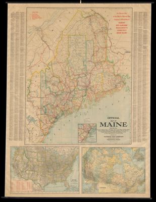
Monk's Standard American Map exhibiting the larger portion of North America
Creator:
Date/Date Range Produced: 1860
Language:
Dimensions: 139 x 106
Physical Description: 1 map: colored, illustrated
Accession Number: OML-1860-42
Image Number:


Official Map of Vermont, New Hampshire, Mass., Conn. R.I.
Creator:
Date/Date Range Produced: 1910
Language:
Dimensions: 132 x 140
Accession Number: OML-1910-139
Image Number: