
Section 7: The Bread and Roses Strike of 1912 [expand title="VIEW OTHER SECTIONS"] Industry, Wealth, and Labor: Mapping New England Textile Mills 1. Introduction 2. Examples of Site-Specific Fire Insurance Plans 3. Biddeford-Saco 4. Lowell ...
Section 8: New England Railroads and Textile Mill Towns [expand title="VIEW OTHER SECTIONS"] Industry, Wealth, and Labor: Mapping New England Textile Mills 1. Introduction 2. Examples of Site-Specific Fire Insurance Plans 3. Biddeford-Saco 4...
Section 9: Southern Cotton and the New England Textile Industry [expand title="VIEW OTHER SECTIONS"] Industry, Wealth, and Labor: Mapping New England Textile Mills 1. Introduction 2. Examples of Site-Specific Fire Insurance Plans 3. Biddeford...
Section 10: Salmon Falls Manufacturing Company [expand title="VIEW OTHER SECTIONS"] Industry, Wealth, and Labor: Mapping New England Textile Mills 1. Introduction 2. Examples of Site-Specific Fire Insurance Plans 3. Biddeford-Saco 4. Lowell ...

Section 11: Workers' Experience [expand title="VIEW OTHER SECTIONS"] Industry, Wealth, and Labor: Mapping New England Textile Mills 1. Introduction 2. Examples of Site-Specific Fire Insurance Plans 3. Biddeford-Saco 4. Lowell 5. Lewiston-Au...
Section 12: Miscellaneous [expand title="VIEW OTHER SECTIONS"] Industry, Wealth, and Labor: Mapping New England Textile Mills 1. Introduction 2. Examples of Site-Specific Fire Insurance Plans 3. Biddeford-Saco 4. Lowell 5. Lewiston-Auburn ...
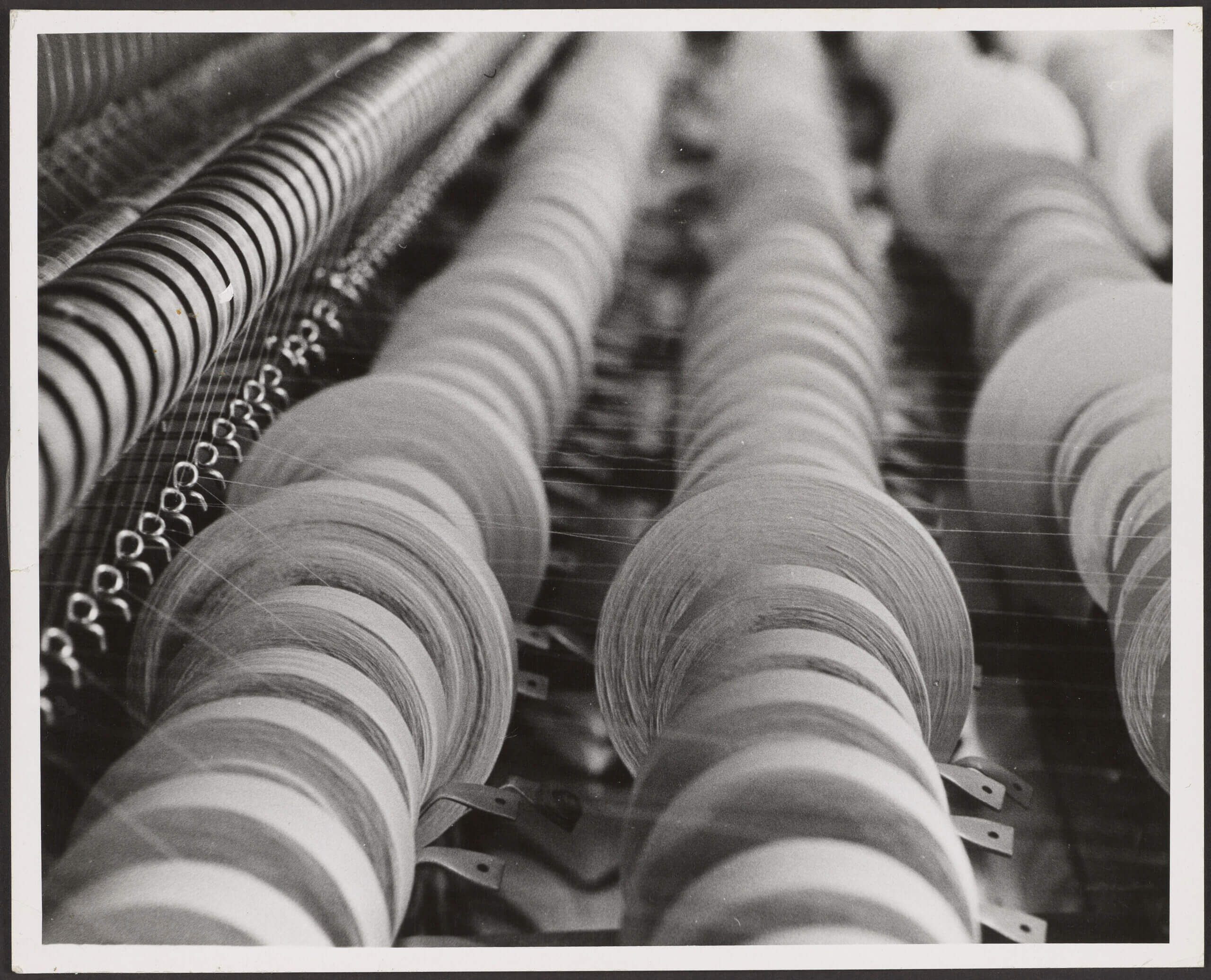
Industry, Wealth, and Labor: Mapping New England Textile History The Osher Map Library’s recent acquisition of a collection of textile mill insurance plans from the American Textile History Museum provided the inspiration for this exhibition. Them...
Are you a classroom teacher within the Greater Portland area? We are happy to lend high-quality printed reproductions of this map set at no cost as part of an Activity Kit for use in your classroom. The kit will also include a variety of age-...
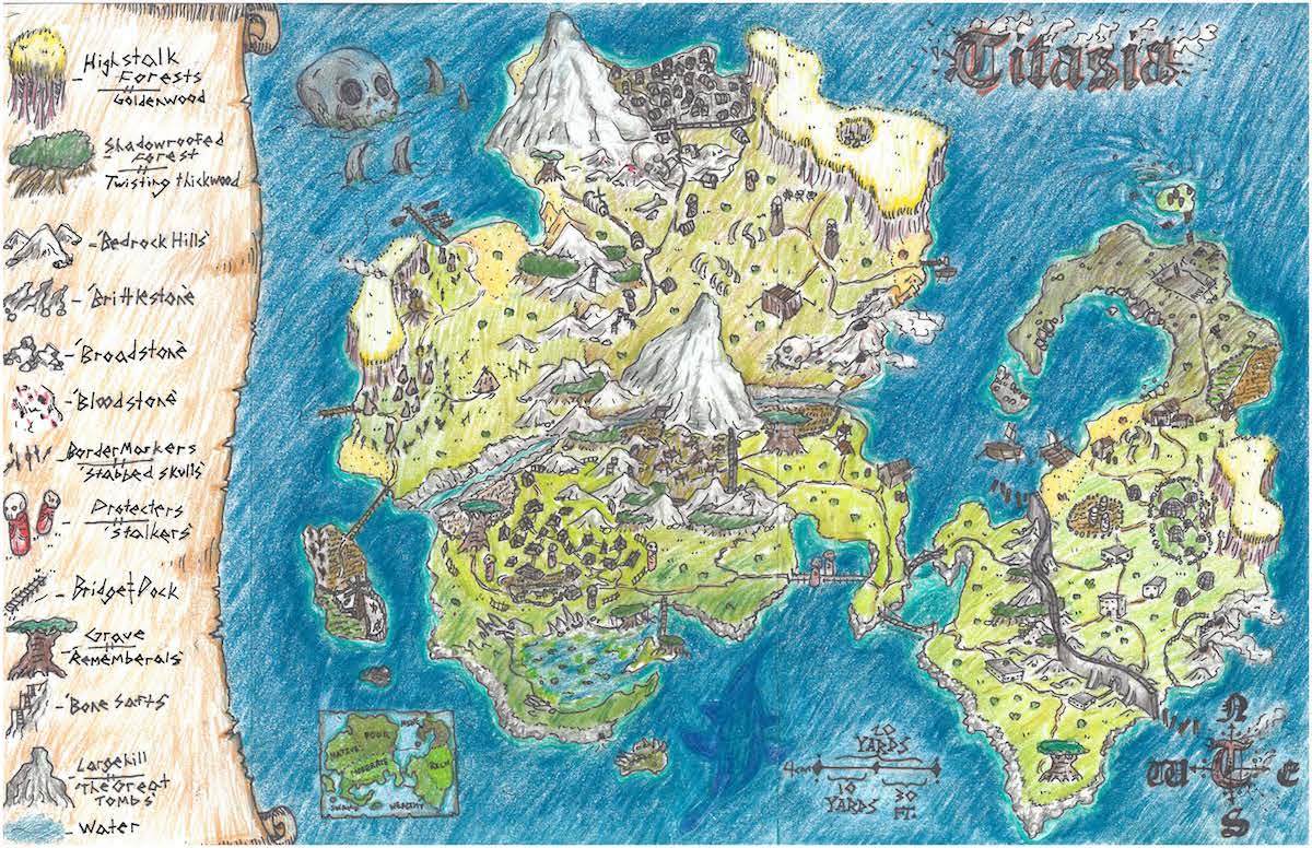
First Place Winner - “Titasia” “Titasia” by Jasper B.York Middle School, 6th Grade Second Place Winner - “Guide to Pexa” “Guide to Pexa” by Gracyn R.Falmouth Elementary School, 5th Grade Third Place Winner - “Aroadia: ...
Curated and text written by Prof. Matthew H. Edney, Osher Map Library Faculty Scholar, with much help from Prof. Nathan D. Hamilton. Valuable assistance was provided by William H. Browder, Jr., Sandy Dowling, Dr. Harold L. Osher, and especially Yolan...